
 by Artist (4)
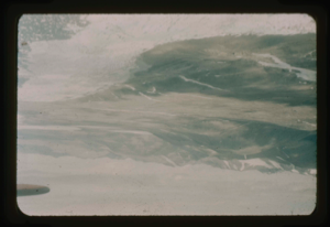
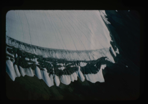
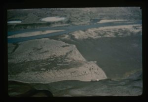
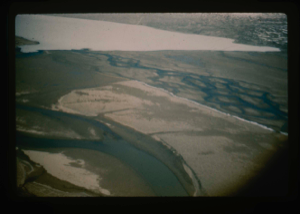
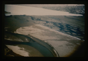
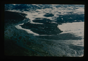
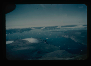
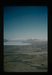
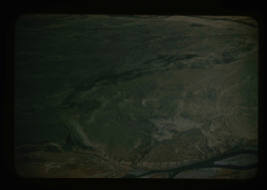
View of Cape Morris Jesup, view south. Arctic Ocean is in the foreground (Sykes)
Stanley Needleman
35mm slide
20th century Greenland Image
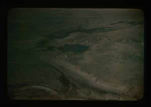
![Image of Omers Lake along Arctic Ocean in Northeast Greenland (R. Sykes) [Romer Sø?]](/media/Previews/1992.27_kiosk/JPEG_flipped/1992.27.213.png)
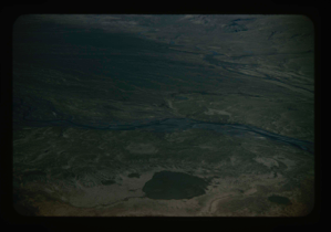
Omers Lake along Arctic Ocean in Northeast Greenland (R. Sykes) [Romer Sø?]
Stanley Needleman
35mm slide
20th century Greenland Image
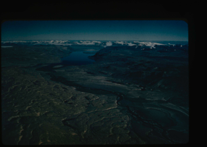
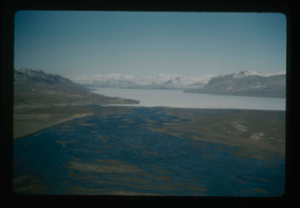
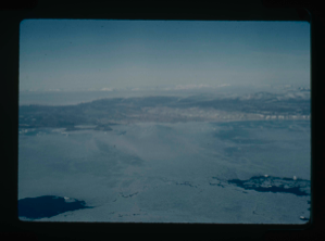
View of Centrum Lake to ice cap at south end. Peary Land (R.Sykes)
Stanley Needleman
35mm slide
20th century Greenland Image
Aerial view of Station Nord, Danish weather station, northeast tip of Greenland
Stanley Needleman
35mm slide
20th century Greenland Image
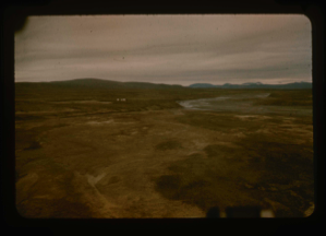
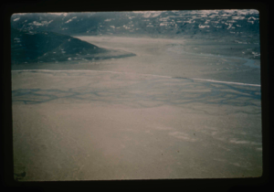
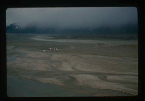
Aerial view of the airfield site on silt-clay flat at Bronlunds Fjord.
Stanley Needleman
35mm slide
20th century Greenland Image
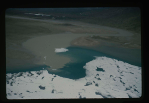
Close-up aerial view, edge of Greenland Ice Cap in Centrum Lake area
Stanley Needleman
35mm slide
20th century Greenland Image
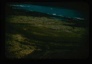
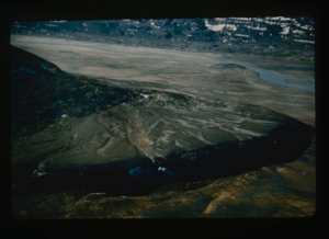
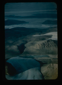
Aerial view of drainage from Saefaxi River into floodplain south of Centrum Lake
Stanley Needleman
35mm slide
20th century Greenland Image
Aertial view of Centrum Lake airstrip on delta.
Stanley Needleman
35mm slide
20th century Greenland Image
Aerial view, patterned ground of soil polygons on delta at Centrum Lake.
Stanley Needleman
35mm slide
20th century Greenland Image
Air view of Centrum Lake Base Camp toward the north. Note thawed Saefaxi River,
Stanley Needleman
35mm slide
20th century Greenland Image
Aerial view northeast section of delta at Centrum Lake. Saefaxi River
Stanley Needleman
35mm slide
20th century Greenland Image
Closer view of airstrip at Centrum Lake through window of helicopter. Ice cover
Stanley Needleman
35mm slide
20th century Greenland Image
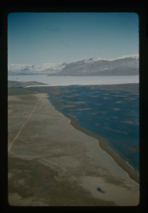
View of delta, west-northwest, Centrum Lake, Graeselv River - braided stream
Stanley Needleman
35mm slide
20th century Greenland Image
Aerial view of raised delta of Centrum Lake. Note the Saefaxi River
Stanley Needleman
35mm slide
20th century Greenland image
View east of Graeselv River, braided stream, flowing across flood plain
Stanley Needleman
35mm slide
20th century Greenland Image
Aerial view of delta at Centrum Lake. Note braided stream of Graeselv River
Stanley Needleman
35mm slide
20th century Greenland Image
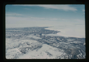
Aerial view of Centrum Lake area
Stanley Needleman
35mm slide
20th century Greenland image
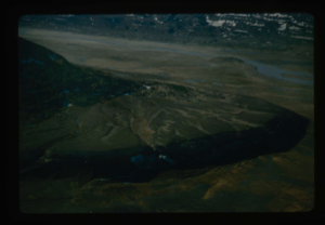
Close-up view of Cape Morris Jesup, aerial
Stanley Needleman
35mm slide
20th century Greenland image
![Image of Dobbelsodal Lake [Dobbeltsoen] at Cape Morris Jesup, looking north.](/media/Previews/1992.20_kiosk/JPEG_flipped/1992.20.102_flip.png)
Dobbelsodal Lake [Dobbeltsoen] at Cape Morris Jesup, looking north.
Stanley Needleman
35mm slide
20th century Greenland Image
High terrace at west end of delta of Centrum Lake.
Stanley Needleman
35mm slide
20th century Greenland Image
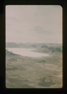
Sael So. (Seal Sea). (R. Sykes)
Stanley Needleman
35mm slide
20th century Greenland Image
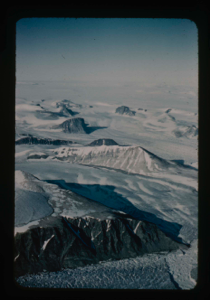
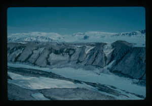
Nunataks of Peary Land, North Greenland. View toward ice cap.
Stanley Needleman
35mm slide
20th century Greenland image
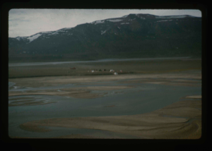
Aerial view of Centrum Lake base camp with US Army helicopters. Saefaxi River
Stanley Needleman
35mm slide
20th century Greenland image
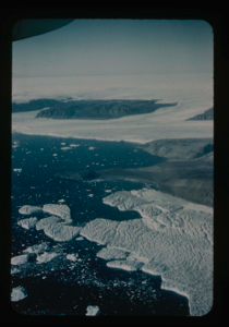
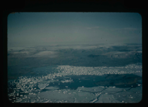
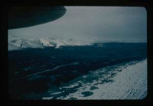
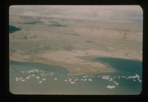
View of Bronlunds Fjord from the air. Note floating icebergs.
Stanley Needleman
35mm slide
20th century Greenland image
View of Bronlunds Fjord area. View toward ice cap.
Stanley Needleman
35mm slide
20th century Greenland image
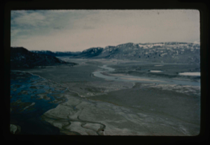
Aerial view of Danmarks Fjord.
Stanley Needleman
35mm slide
20th century Greenland Image
Bronlunds Fjord, Cape Harald Moltke.
Stanley Needleman
35mm slide
20th century Greenland Image
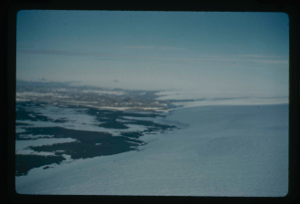
Thule Air Force Base, view east.
Stanley Needleman
35mm slide
20th century Greenland Image
Edge of Greenland Ice Cap in Peary Land. Locating a suitable access route down
Stanley Needleman
35mm slide
20th century Greenland image
Edge of Greenland Ice Cap in Peary Land. Searching for access to Centrum Lake
Stanley Needleman
35mm slide
20th century Greenland image
View north. Ice cap in background.
Stanley Needleman
35mm slide
20th century Greenland Image
Greenland Ice Cap with access route in Northeast Greenland.
Stanley Needleman
35mm slide
20th century Greenland Image
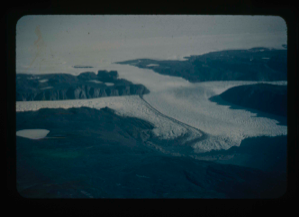
![Image of Independence Fjord and glaciers flowing adjacent to Bronlunds Fjord [aerial]](/media/Previews/1992.19_kiosk/JPEG_flipped/1992.19.111_flip.png)
Independence Fjord and glaciers flowing adjacent to Bronlunds Fjord [aerial]
Stanley Needleman
35mm slide
20th century Greenland image
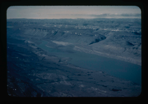
Aerial view of Independence Fjord.
Stanley Needleman
35mm slide
20th century Greenland Image
Cape Harald Moltke, Bronlunds Fjord, aerial view, northwest.
Stanley Needleman
35mm slide
20th century Greenland Image
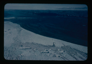
Aerial view of runway area on Polaris Promontory. Tents in lower left
Stanley Needleman
35mm slide
20th century Greenland image
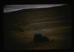
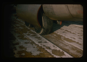
Aerial view of dozing/levelling of airstrip surface by jeep with plow blade.
Stanley Needleman
35mm slide
20th century Greenland Image
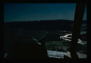
Aerial view of river near base camp that provided drinking water. Note tents
Stanley Needleman
35mm slide
20th century Greenland Image
Aerial view of Capt. C.F. Hall's grave marker plus the cairn on shore of Bay
Stanley Needleman
35mm slide
20th century Greenland Image
Aerial view at lower altitude of runway area on Polaris Promontory.
Stanley Needleman
35mm slide
20th century Greenland image
Aerial view of airstrip at Bronlunds Fjord. Tents on airstrip area.
Stanley Needleman
35mm slide
20th century Greenland Image
Aeril view of Centrum Lake and raised delta and Saefaxi River
Stanley Needleman
35mm slide
20th century Greenland image
Aerial view of Cape Morris Jesup; ocean in partial melt; southwest to ice cap
Stanley Needleman
35mm slide
20th century Greenland Image
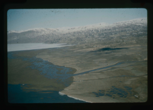
Aerial view of Centrum Lake delta, to northeast. Base camp in background
Stanley Needleman
35mm slide
20th century Greenland Image
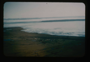
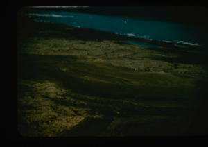
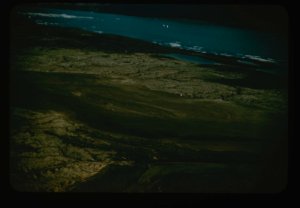
Aerial view of Cape Bridgeman along coast of the Arctic Ocean.
Stanley Needleman
35mm slide
20th century Greenland Image
Cape Harald Moltke near site of Bronlunds Fjord, Peary Land.
Stanley Needleman
35mm slide
20th century Greenland Image
Aerial view of Bronlunds Fjord runway site and camp area of field party
Stanley Needleman
35mm slide
20th century Greenland image
Aerial view, west. Polaris airstrip upper right.
Stanley Needleman
35mm slide
20th century Greenland Image
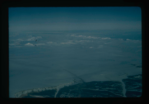
Aerial view of runway from helicopter looking north. Arctic Ocean 25 miles away
Stanley Needleman
35mm slide
20th century Greenland image
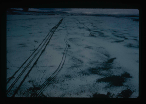
Aircraft tire tracks of C-130 on runway, from the air
Stanley Needleman
35mm slide
20th century Greenland image
Your current search criteria is: Keyword is "BRU" and [Objects]Nationality is "Greenland" and [Objects]Century is "20th century".
View current selection of records as: